New Ottawa traffic map shows how local projects and events may impact your movement throughout the nation’s capital
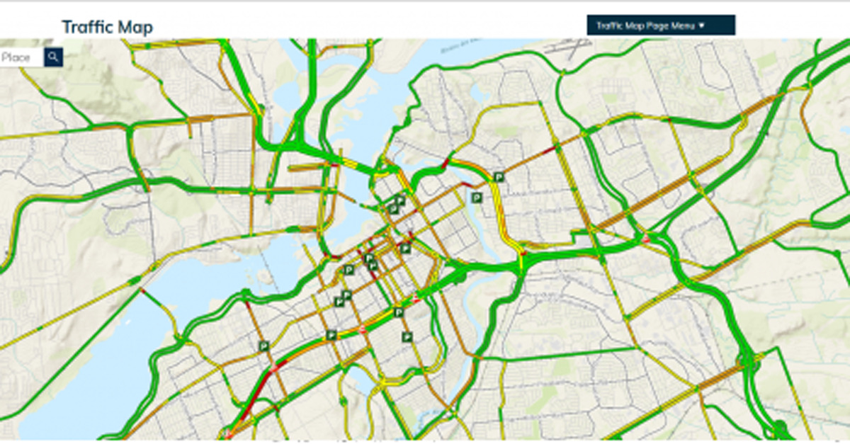
Whether you’re walking, cycling or driving, the City of Ottawa’s new Traffic Map (link is external) has the information you need to plan a smooth trip. The new map is a one-stop shop for understanding how local projects and events may impact your movement throughout the city.
New, easy-to-use features
The Traffic Map includes several new and improved features, such as:
- A mobile friendly, accessible interface
- An easy-to-use search bar
- A map that provides better coverage and road names in both official languages

Residents can click on the map to see the location, duration and details of current mobility impacts in Ottawa. This includes:
- Traffic cameras
- Construction
- Events
- Incidents
- City parking
- Park and Ride
- Red light cameras

Improving mobility in Ottawa
Over time, this new beta site will be enhanced with more information about what’s impacting mobility around the city to help you reach your destination safely and more efficiently, across all modes of travel. This initiative is just one way the City’s Transportation Department is working to improve mobility in Ottawa.
Ready to plan your trip? Visit the Traffic Map webpage (link is external). You can also provide feedback about functions and features you’d like to see in the future directly through the Traffic Map’s Contact Us form (link is external).
SOURCE City of Ottawa
Other articles from totimes.ca – otttimes.ca – mtltimes.ca