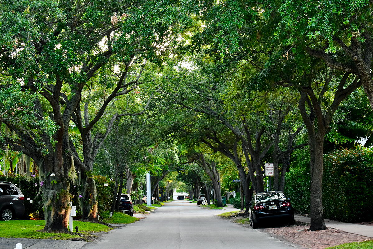
Urban trees cool neighbourhoods, absorb stormwater and make busy streets more pleasant, yet their condition can change faster than municipal crews can inspect them. Heat stress, construction damage, invasive insects and severe weather may affect thousands of trees across a city at once.
Autonomous aerial systems offer a clearer view. Equipped with suitable sensors and repeatable flight plans, they can record canopy condition over time and help urban forestry teams direct limited staff and budgets towards areas that need attention. The technology won’t replace arborists or ground inspections, but it can reveal patterns that are difficult to see from street level.
Mapping Canopy Health from Above
Aerial mapping turns individual tree observations into a neighbourhood-scale picture. Standard cameras capture visible changes such as thinning crowns, broken branches and early leaf loss. Multispectral or thermal sensors can add information about plant stress, surface temperature and differences in vegetation health.
Consistency matters more than a single impressive image. Teams should fly the same routes at similar heights and times of day, then compare the resulting maps. A survey conducted every four to six weeks during the growing season could reveal a cluster of declining trees along a construction corridor or show which blocks are experiencing the greatest heat stress.
The value of this approach is supported by a forest health monitoring review, which examines how aerial data and different sensor types are used to assess forest condition. Urban settings bring extra complications, including buildings, traffic, power lines and fragmented tree cover, so each operation still requires careful planning and compliance with local aviation rules.
Start with a defined question. A city might map canopy gaps around schools, inspect mature trees after a major storm or compare heat exposure between neighbourhoods. Clear objectives determine the flight area, sensor choice and level of detail required. Ground crews should also verify a sample of the findings, since shadows, roof materials and seasonal colour can sometimes produce misleading signals in aerial imagery.
Persistent Monitoring Through Changing Seasons
A tree’s appearance varies naturally through spring growth, summer heat, autumn colour and winter dormancy. Monitoring programs need to distinguish those expected changes from signs of disease or environmental stress. That requires repeatable data gathered across more than one season.
Integrated seasonal forest mapping can help analysts interpret changes in canopy structure and vegetation signals within their proper seasonal context. For an urban forestry department, this could mean recording baseline conditions shortly after leaf-out, repeating the route during peak summer heat and conducting another survey before leaf fall.
Organizations considering frequent or urgent automated operations need to assess site access, airspace restrictions, communications coverage and maintenance capacity before selecting equipment. Those ready to evaluate an automated docking station with battery swapping, rapid deployment and support for continuous missions can buy the DJI Dock 4 as part of a broader operational plan. The system’s wide operating temperature range and low-latency livestream may suit organizations dealing with complex environments, though trained oversight and a documented flight process remain necessary.
Set seasonal baselines before creating alerts. A maple canopy in October shouldn’t be judged against its July colour, and a leafless winter image can’t be scored with a summer vegetation model. Comparing like with like reduces false alarms and gives staff a more reliable basis for scheduling inspections.
Automating Forest Health Surveillance
Automation can reduce the time spent repeating routine routes and organizing large image collections. A scheduled system may conduct an approved survey, transfer the data and prepare it for analysis without requiring a crew to rebuild the same workflow each time. Staff can then focus on interpretation, field checks and tree care.
Image analysis software can flag several useful changes:
- A sudden reduction in crown density
- Unusual discolouration within a group of similar trees
- Broken or missing canopy after severe weather
- Expanding gaps along streets, parks or stream corridors
These flags should be treated as inspection priorities, not final diagnoses. Aerial images may show that a crown has thinned, but an arborist must often visit the site to determine whether the cause is drought, root damage, insects, soil compaction or normal pruning. Automated surveillance works best as a screening layer that helps qualified staff decide where to look first.
Modern urban forestry also depends on connecting technical systems with day-to-day management. Research into urban forestry technology highlights the challenges cities face when adopting new tools, including data standards, staff skills and integration with existing inventories.
A practical pilot should cover a manageable area, such as one large park or several adjoining neighbourhoods. Run it for a full growing season, record how many alerts lead to confirmed problems and track the staff time required. If the system produces frequent false positives, adjust the thresholds or flight timing before expanding the program.
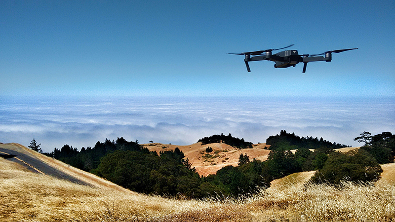
Image Credit: Unsplash
Actionable Environmental Data at Scale
A large collection of aerial images has limited value until it informs a decision. Urban forestry teams need outputs that fit their existing work, such as maps of stressed tree clusters, ranked inspection lists and canopy-cover changes by neighbourhood. Each result should include a date, location and confidence level so staff understand what the system detected.
Machine learning can speed up classification across wide areas. One example is a high-resolution canopy dataset created with machine learning to map forest canopy cover across an entire state. Similar methods can support municipal analysis, though urban models need training data that reflects local tree species, building forms and seasonal conditions.
Scale also creates governance questions. Cities should decide how long imagery will be stored, who can access it and which details must be removed before public release. Flight routes can focus tightly on tree canopies and public green spaces, while image resolution should match the environmental task. Collecting extra visual detail simply increases storage demands and privacy concerns.
Useful reporting keeps the data connected to action. A dashboard might show that one district lost five per cent of its canopy over three years, while field records identify redevelopment and storm damage as the main causes. Planners could then target replacement planting, revise construction protection practices or prioritize watering during dry periods.
Success should be measured through outcomes such as faster post-storm assessments, earlier detection of canopy decline and fewer unnecessary site visits. If an aerial system can help an arborist identify a stressed block days sooner, the technology has moved beyond mapping and become a practical urban forest management tool.
Autonomous systems are most likely to help urban forests when cities begin with one clearly defined problem and keep trained people at the centre of the response. The most useful map is the one that sends a crew to the right trees before manageable stress becomes irreversible decline.
contributed post
Image Credit: Unsplash